Grades K-4: Floor Map
**Online Map, All 21 Countries, Imports/Exports, Country Flags**
- Name and locate all 21 Spanish-speaking countries (jumping on a floor map).
- Transfer knowledge to other maps (find countries on globe, paper, poster, etc.).
- Connect country names with class Culture Projects.
- Apply map knowledge in free play.
- Actual quote: “No, you can’t drive to Puerto Rico- it’s an island! You have to take a boat! ~first grader proceeds to ‘row’ himself in cardboard box across the room.
Students jump on and name Spanish-speaking countries on tape floor map. Many also become familiar with the flags of said countries, more through osmosis than anything else!
- Grades 2-4 completed/mastered all 21 countries.
- Some classes looked at clothing tags in class (e.g., shirts, shoes) and food labels at home to identify imports/exports from Spanish-speaking countries: bananas from Costa Rica, shirts from Honduras, avocados from Mexico, etc.
- Grade 1 learned all 21 Spanish-speaking countries on the map, and loved trying to better their times with an online timer.
- Kindergarten learned all of South America on the map, and recognizes names of several other countries from projects.
- PK-4 recognizes “Puerto Rico”, “Guatemala”, “Mexico”, and “Colombia” from projects.
El Mapa.


Spanish-Speaking Countries: Chile, Argentina, Uruguay, Paraguay, Bolivia, Peru, Ecuador, Colombia, Venezuela, Panama, Costa Rica, Nicaragua, Honduras, El Salvador, Guatemala, Mexico, Cuba, Dominican Republic, Puerto Rico (technically a territory), Spain/España, Equatorial Guinea.
NOTE: The “x”‘s on the map for Spain & Equatorial Guinea indicate that the geographical distance between the latter and all of the other countries is not accurate (~they are across the ocean!).
Country Flags
LINKS: Bandera de España et al


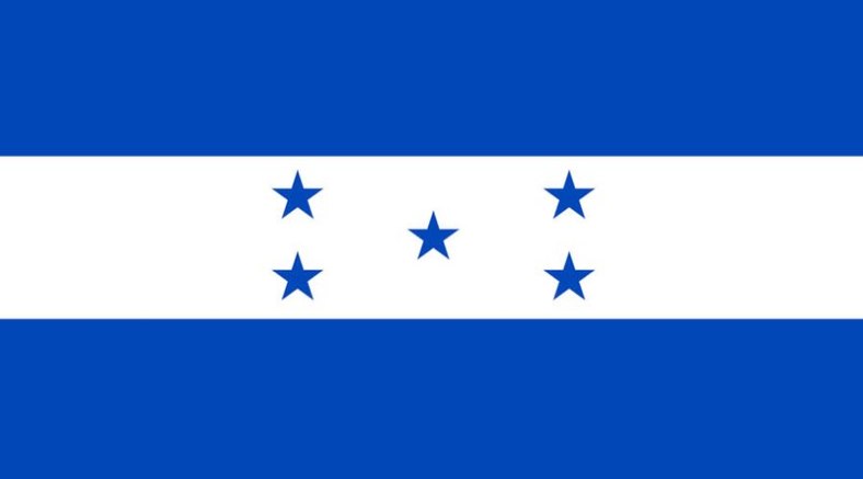

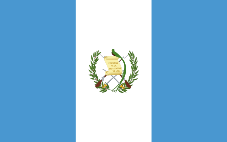

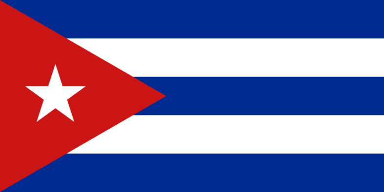


All images taken from Wikimedia Commons (public domain).
Discover more from La cueva de español
Subscribe to get the latest posts sent to your email.
You must be logged in to post a comment.