
Grades K-4: Floor Map
- Name and locate all 21 Spanish-speaking countries (jumping on a floor map).
- Transfer knowledge to other maps (find countries on globe, paper, poster, etc.).
- Connect country names with class Culture Projects.
- Apply map knowledge in free play.
- Actual quote: “No, you can’t drive to Puerto Rico- it’s an island! You have to take a boat! ~first grader proceeds to ‘row’ himself in cardboard box across the room.
Students jump on and name Spanish-speaking countries on tape floor map. Many also become familiar with the flags of said countries, more through osmosis than anything else!
- Grades 2-4 completed/mastered all 21 countries.
- Some classes looked at clothing tags in class (e.g., shirts, shoes) and food labels at home to identify imports/exports from Spanish-speaking countries: bananas from Costa Rica, shirts from Honduras, avocados from Mexico, etc.
- Grade 1 learned all 21 Spanish-speaking countries on the map, and loved trying to better their times with an online timer.
- Kindergarten learned all of South America on the map, and recognizes names of several other countries from projects.
- PK-4 recognizes “Puerto Rico”, “Guatemala”, “Mexico”, and “Colombia” from projects.
El Mapa.


Spanish-Speaking Countries: Chile, Argentina, Uruguay, Paraguay, Bolivia, Peru, Ecuador, Colombia, Venezuela, Panama, Costa Rica, Nicaragua, Honduras, El Salvador, Guatemala, Mexico, Cuba, Dominican Republic, Puerto Rico (technically a territory), Spain/España, Equatorial Guinea.
NOTE: The “x”‘s on the map for Spain & Equatorial Guinea indicate that the geographical distance between the latter and all of the other countries is not accurate (~they are across the ocean!).
Country Flags
LINKS: Bandera de España et al


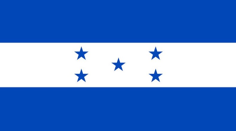

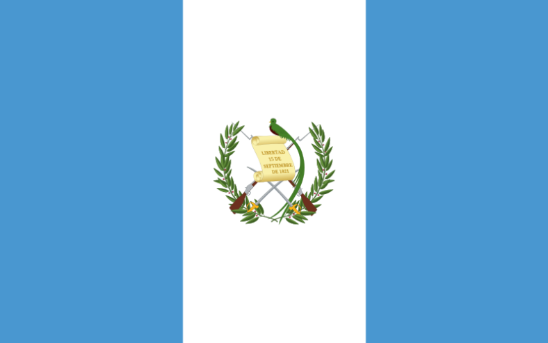

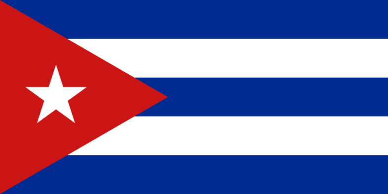


All images taken from Wikimedia Commons (public domain).
You must be logged in to post a comment.